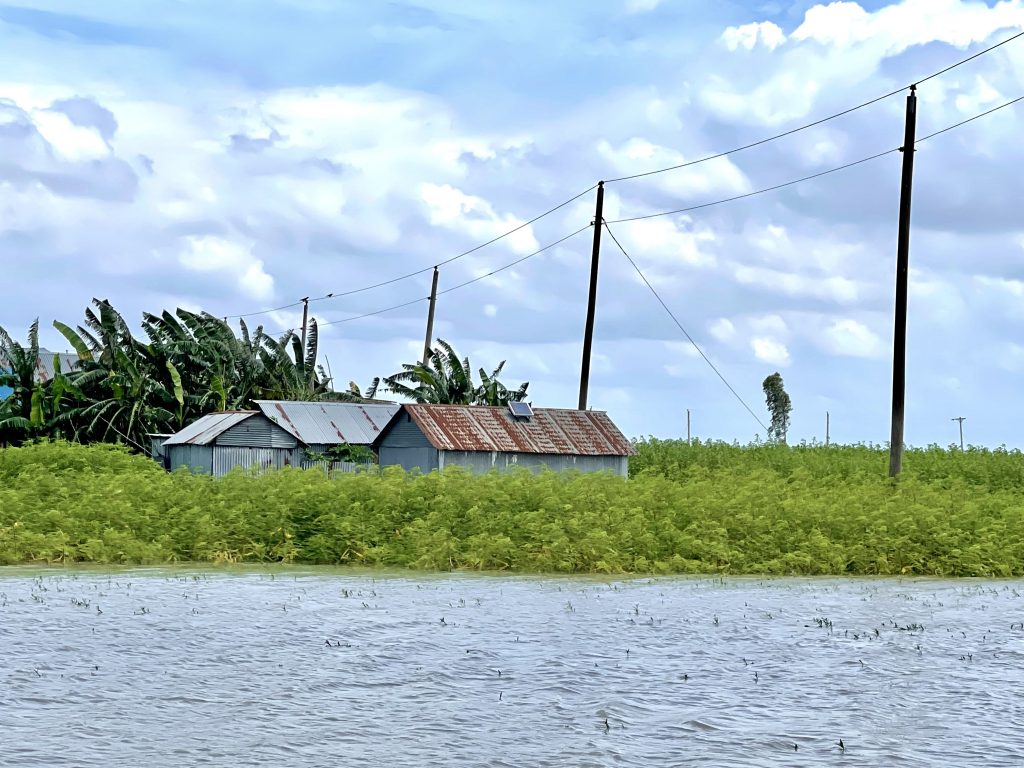
What does a ‘Smart Bangladesh’ when the technology the Bangladeshi government has invested in is not accessible to circa 5 million people in the North of the country? My fieldwork focuses on the remote Char islands in northern Bangladesh—dynamic, riverine landforms in climate-disaster-prone areas that experience flooding two to four times a year due to heavy monsoon rains and flash floods from upstream in India. On top of that, erosion can lead to the loss of entire islands within 8 to 10 years.
The Smart Bangladesh policies are designed top-down, without this group of people in mind – and therefore the technological interventions are often not very effective. In the absence of adequate infrastructure, Char farmers for example have limited access to healthcare and agricultural information. Although the government has introduced apps and online portals that provide agricultural extension and weather information, most farmers there do not have smartphones to access these resources. Additionally, because of the scarcity of doctors in the Chars, only a small number of NGOs are providing healthcare services through floating hospitals, paramedics, and mHealth or telemedicine to a limited number of Char residents. Inspired by the name of the project I’m part of (DecouplingIT), I’ve called these phenomena ‘miscoupling’.
In my fieldwork, I’ve built networks with the government and participated in TV panels to bring these issues to the attention of policymakers, including the Prime Minister’s Smart Bangladesh Policy Advisor. Recently however, the government was toppled, and the position of the new government is not clear on this ‘Smart Policy’. In my coming fieldwork, I’ll try to explore that further, as well as look into the large investments into solar power plants that the government has made. How does this fit with the Smart agenda?
Climate looms large in my fieldwork. Bangladesh is one of the most vulnerable countries when it comes to climate disasters and contributes almost nothing to the global emissions. I’m trying to understand how changes in the climate affects these populations on the Char islands, and if digital technologies, if planned well, can help them access education and information on health, weather, agricultural services and livestock.
Fieldwork entry from the Western Cape in South Africa
Written by Christine Borgvold Naaby Hansen
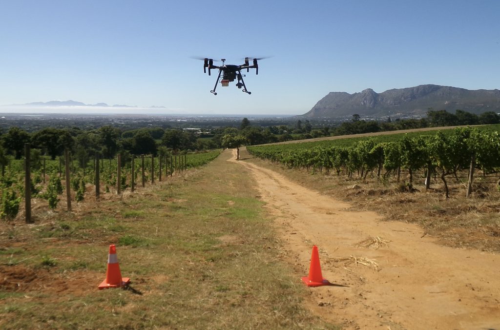
My research focuses on the roll-out of digital technologies in agriculture, with focus on the high-value, export-oriented and labor-intensive horticulture sector in the Western Cape, South Africa. Shifting weather patterns and climate shocks are presenting multiple challenges; water scarcity, changes in harvesting times and increasing susceptibility of crops to pests and diseases. At the same, farmers are facing tightening environmental regulations in key export markets under the European Green Deal, particularly to reduce chemical application. While the cost of compliance with these requirements may lead some South African farmers to diversify export markets, others are looking to data-driven technologies. Among these are UAV-based precision agriculture technologies, such as drones equipped with multispectral cameras, which are promoted as facilitating optimized resource utilization, predicting disease and improving yield.
While drone-based precision farming technologies are framed through narratives of sustainability and productivity, drones in the rural farmlands in Western Cape are simultaneously coupled to notions of surveillance, security and infrastructural governance. Among other questions, my research asks: how does the expanding use of drones reconfigure the spatiality of farming and the rural through novel ways of organizing and viewing the ground? How is the aerial realm, as an increasingly consequential dimension of industrial agricultural production, socially produced, managed and contested?